- Provides detailed topographic maps, based on digital 1:250,000 and 1:50,000 scale NTS data.
- Contains hydrographic features, including coastlines, lake/river shorelines, wetlands and perennial and seasonal streams.
- Includes searchable points of interest, such as parks, campgrounds, scenic lookouts and picnic sites.
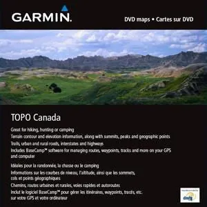
- Offers terrain contour and elevation information, along with summits, peaks and geographic points.
- Contains routable roads, trails and highways in metropolitan and rural areas so getting to your destination is easy.
- Displays national, state, local parks, forests and wilderness areas.
- Includes BaseCamp™ software (DVD Only) for managing data on your GPS and computer, playing back routes and tracks, geotagging photos and more.


")


